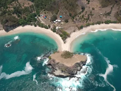

How to Use a Map ubud bali and Download offline Anti-missings
If it's your first time ubudHaving a neat map is a time and energy saver. The key is to mark the core route in the center of the map. ubud such as Jalan Raya Ubud, Road Monkey Forest, Hanoman Street, Kajeng Road, Jalan Bisma, as well as the exit lane to Tegallalang, Sayan, Bookmarking, Petulu, and the direction of the waterfall at gianyar. With a clear map, you can sort your visits by area, avoid traffic jams, and minimize detours due to roads. one-way. Download map offline so you can still navigate when the signal is weak in valleys or rice paddies. The trick is to keep a parking pin handy so you can easily get back to your original spot. Use layer to see traffic jams, pedestrian paths, and alternative side streets used by locals. With this setup, you're ready to explore without drama and still have time to relax and enjoy the greenery. ubud.
The importance of having a map of Ubud when traveling around is that it makes it easier to navigate and find places of interest.
Quick Steps in Google Maps and Ubud Map offline
Starting from the center ubud then create list contains favorite Tourist Destinations. Activate the offline maps, mark the route of the small ring road, and use the labels for parking spots, stalland photo spots. Arrange the order of stops in a clockwise direction for efficiency, for example Ubud Palace To Saraswati Temple then Ubud Art Market, proceed to Campuhan Ridge Walk before going down to Sayan. When roads are congested, check out village road options such as Suweta Road and Subak Sok Wayah. Save emergency numbers and shortcut back to the hotel. With this setting, you can change your plans flexibly without confusion, while preserving your phone battery due to the map. offline more power-efficient.
When exploring, don't forget to always bring a map of Ubud so you don't get lost.
-
Download Ubud area: Download map offline includes ubud, Tegallalang, gianyar, and some Sayan. Store in internal memory for quick access. When the signal drops in valleys or rice fields, navigation remains smooth. Also mark toilet, ATMs, and drinking water refill points nearby Jalan Raya Ubud. With a full map, you don't have to panic when other apps don't run due to a weak network.
Be sure to download a map of Ubud before your trip to be prepared without an internet connection.
-
Set alternate layers and routes: Turn on traffic layer, see the dense pattern in Monkey Forest Road and Hanoman Street in the afternoon. Prepare an alternative route via Jalan Bisma or alley Bookmarking to return to the center. Use walking directions for trails such as Campuhan Ridge Walk and paddy field paths Kajeng to be accurate.
-
Read color codes and rules one-way: Note the sign one-way in several central sections ubud so as not to detour far. Red means congested, orange slightly congested, green smooth. If you get stuck in a sudden traffic jam near Ubud Art Marketparking in an authorized area and then walking, it's usually faster and more fun to photo walk.
Hidden Routes to 17 Destinations Instagramable at ubud
This section focuses on seamless intermodal routes for those who like pretty photos and a calm atmosphere. The strategy is to divide ubud into three directions: north towards Tegallalang, west to Sayan-Penestananand east-south to the waterfall area gianyar. Each route has its own unique character. The north offers epic terraced rice fields, the west offers river valleys and trails. SunsetThe east-south is full of fresh waterfall surprises. Save all the points on the map and organize the order of visits according to the best light time for photos, for example sunrise in rice fields and Golden hour on the hills. With this route, you won't just get a photo that is InstagramableBut it's also a fun experience to move from one landscape to another without much time lost on the road.
By having a map of Ubud, you can find the best route for every destination you want to visit.
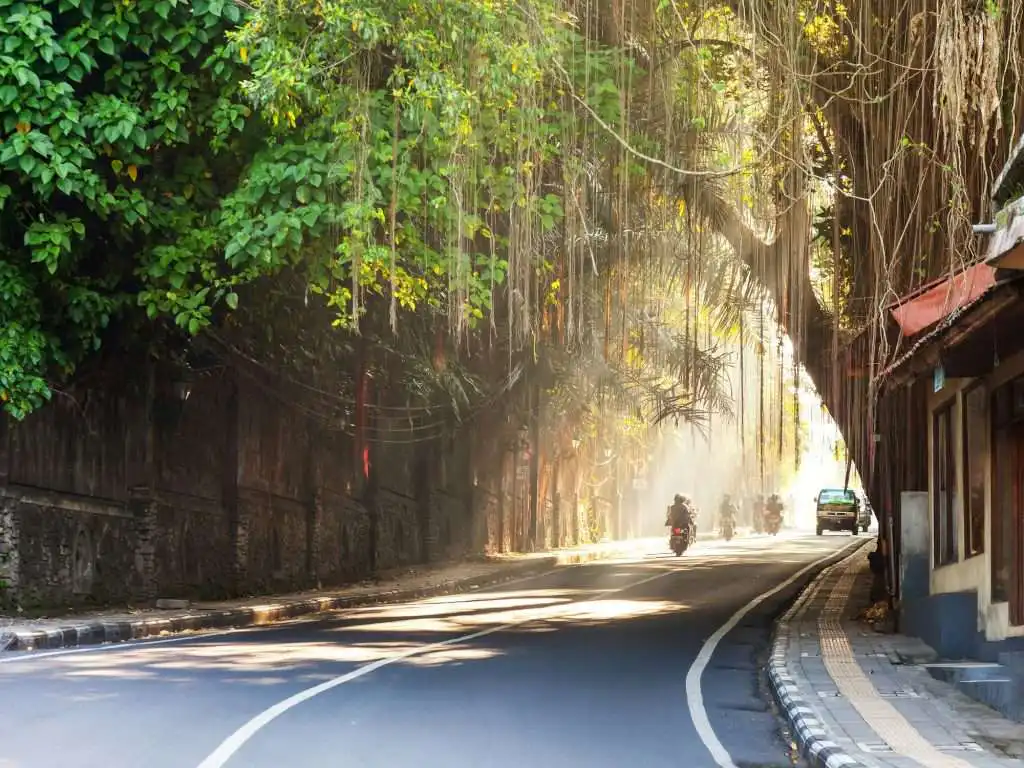
Northern Route: Terraced Rice Fields and Quiet Village
This route is ideal for mornings when the light is soft. Start from the center ubud, point to Tegallalang and surrounding villages by bypassing congestion through Suweta Road. Many beautiful spots are hidden behind small cafes and less crowded subak roads. Make sure your vehicle is parked in an authorized spot, then explore on foot to find different photo angles. Avoid the heat of the day if possible, as the light reflecting off the rice fields can be too harsh. Save your pin back to the city so you can easily navigate to the next route without getting lost on the village roads.
Don't forget to check out the map of Ubud to find the best photo spots during your trip.
-
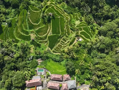
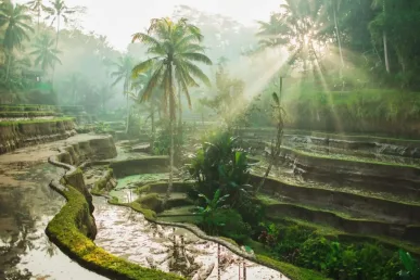
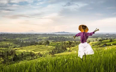
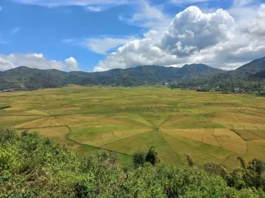
Tegallalang Rice Terrace: The best route is from ubud Go to Jalan Raya Tegallalang then enter the terraced area through the official parking lot. Arrive early for cool air and maximum green color. Explore the path on the eastern side for photo compositions that highlight the contours of the terraces. Plenty of swings and viewpointHowever, choose a less commercial spot on the back side for a more natural shot. Bring drinking water and non-slip footwear as some of the steps can get damp after rain. Once you're done, continue to the terraced café overlooking the rice fields to brunch relax.
-
Subak Ceking Hidden Track: From the area CheckingFind the quieter subak path on the north side. Park on the legal side of the road and walk along the bunds. The scenery here tends to be quieter, perfect for portrait or lifestyle shoot. Avoid stepping on plants and respect local farmers, as this area is active land. Bring a hat and wear neutral-colored clothing to blend in with the green landscape. On the way back, return via the same path to avoid confusion at the subak passageway.
A map of Ubud will be a great help in discovering the amazing hidden trails.
-
Mount Kawi Sebatu: Navigate the map to the holy complex Mount Kawi Sebatu which is tranquil. Crystal clear pools and quaint architecture provide a peaceful ambience photogenic. Arrive early so that the light reflects gently on the water surface. Wear modest clothing, prepare sarong if needed, and keep the sound to a minimum so as not to disturb the worshippers. The symmetrical composition of the gate and fish pond is often a favorite. From here, you can head back to ubud take different paths to get a variety of views of the village.
-
Tirta Empul: From ubud, take the route to Tampaksiring. This purification site is famous for its sacred pools and showers. Despite its popularity, there is still a quiet corner at the side of the complex for more intimate photos. Respect the dress code and do not block the path of devotees. Mornings are best as the water is clear and the rows of showers are not yet crowded. Use a wide-angle lens to capture the entirety of the pond and the ancient carvings around it.
-
Petulu Heron Village: In the late afternoon, point the map to Petulu to witness a colony of storks returning to the trees. The route in through the village road is quite narrow, so park in a spot that doesn't disturb residents. The twilight light between the trees gives a dramatic effect. Use shutter speed faster so that the bird does not blur. Enjoy the peaceful village atmosphere while keeping the neighborhood clean and quiet.
-
Tegalalang Hill Mini Viewpoint: At several points on the edge of the directional cliff Tegallalangthere is pull-over a small area that is rarely known to tourists. From here, you can capture the patterns of the rice fields from a height without the crowds. Don't stop carelessly at sharp corners, make sure the location is safe for parking. Take a photo panoramic when thin clouds pass by, the results are usually more dramatic.
Western Route: River Valley and Golden hour
The western route features valley contours Wos River, artist villages, and walking trails chill. Start in the afternoon to catch up Golden hour. Avoid rush hour in the city center by cutting through Jalan Bisma or alley Bookmarking. Many cafes are hidden on the cliff edge with views of the valley, perfect for a short break. Save the parking pins before heading down to the trail. Make sure you have enough battery in your phone as you'll be shooting a lot in the fast-changing twilight.
-
Campuhan Ridge Walk: Get in close Warwick Ibah and walk along the grassy ridge. The best time is very early morning or near dusk when the light is slanting and it's not too hot. The route is easily accessible yet still feels natural. Take a composition with the leading lines of the elongated trail, and insert a model at the point of convergence for a dramatic effect. Pack drinking water and a hat, and avoid stepping on the wild bushes on the hillside.
-
Backlanes maintenance: From the center ubud, point to Bookmarking. Park in the legal lot and wander through the artist alley full of small studios, murals and traditional houses. There are many corners with stone walls and photogenic vines. Mornings bring a quiet atmosphere, ideal for street portrait. Respect people's privacy, and ask for permission when photographing the yard. Use a 35-50 mm lens for natural results when walking.
-
Sayan Valley Overlook: Find a cafe or viewpoint cliff edge in the region Sayan that overlook the valley. Arrive an hour before sunset to ensure you get a west-facing seat. Photo silhouette coconut trees and streams will look beautiful. If you have a tripod, use the bracketing so that the details of the sky and the valley are balanced. Make sure to return via a well-lit route, as some parts of the village roads lack lights.
-
Neka Art Museum: Garden art and architecture collection at Neka Art Museum provides an elegant backdrop for photos. Come in soft light to photograph the sculptures and open corridors. Museums provide a strong cultural context, so the photos feel more meaningful. Don't forget to read the captions of the works to understand the stories behind them.
-
Blanco Renaissance Museum: Towers, curved staircases, and tropical gardens at Blanco Museum brings out a dramatic feel. After photographing the front yard, head upstairs to the upper area for the overlook city. Pay attention to closing hours so you don't run out of time. Avoid flash in the showroom when prohibited, and keep the volume down.
-
Tjampuhan Temple: Located at the confluence of rivers, Tjampuhan Temple offers a sacred atmosphere with mossy old stones. Go early in the morning for a serene atmosphere. Photograph the detailed carvings and moss contrasting with the flowing water. Wear slip-resistant footwear as some stones are slippery. Respect the sacred area, which is off-limits to tourists.
Visit Pura Tjampuhan by using the Ubud map so as not to get lost in the small streets.
East-South Route: Waterfalls and Ancient Sites
The east-south direction is a complete package for lovers of water and rock relief. The route is slightly spread out in gianyarThere are a lot of things to do, so organize the order so as not to go back and forth. Start from the ancient site near the town and then descend to the waterfall. Many village roads are narrow, so it's safer to park at an official spot and continue walking. Bring a change of clothes, a waterproof bag for your phone and sturdy sandals. Afternoons are good for photos as the light is not too harsh and small rainbows sometimes appear in the water spouts.
A map of Ubud can be an essential guide to exploring waterfalls and ancient sites.
-
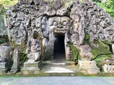
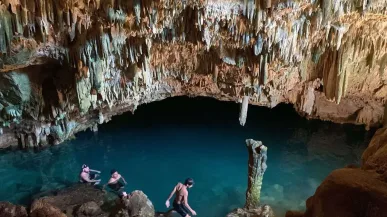
Elephant Cave: Ancient site Elephant Cave It is famous for its carved cave mouths and bathing pools. For unique photos, come in the morning when tourists are not crowded. Compose the cave gate as frame Naturally. Observe the dress code and do not touch the reliefs. Also explore the large tree-lined exterior for a mystical feel.
-
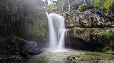
Tegenungan Waterfall: From ubud south to Kemenuh. The waterfall is powerful and photogenic from many angles. Arrive early so that the light mist is still visible. Descend the stairs slowly, keep the camera inside Dry bag. Photo of the west side rocks giving foreground Interesting. Be careful in the rainy season as the current is strong.
By using the map of Ubud, your trip to Tegenungan Waterfall will be more directed.
-
Tibumana Waterfall: Quieter than its neighbors, Tibumana offers a neat curtain of falling water. Official parking is available, then it's a walk over a bamboo bridge and through a small forest. Straight-ahead compositions are often a favorite, but also try the low angle near the water surface for reflection. Keep it clean, don't leave trash behind.
-
Kanto Lampo Waterfall: This stepped waterfall is great for photos long exposure. Use a mini tripod and ND filter if you have one. Go when it's quiet so that it's easy to climb the stone steps safely. Ask a friend for help spotting because of the slippery rocks.
Make sure to access a map of Ubud when visiting Kanto Lampo Waterfall to avoid getting lost.
-
Sukawati Art Market: Before returning to ubud, stop by Sukawati Art Market. Fabric, weaving and craft colors set the scene colorful. Ask the merchant's permission when photographing the details of the item. Bargaining is fun while supporting the local economy. Come in the afternoon before closing so it's not too crowded.
Must-see Destinations in the Center ubud and How to Arrange Them on the Ubud Map
The center of Ubud can be easily explored by using a map of Ubud.
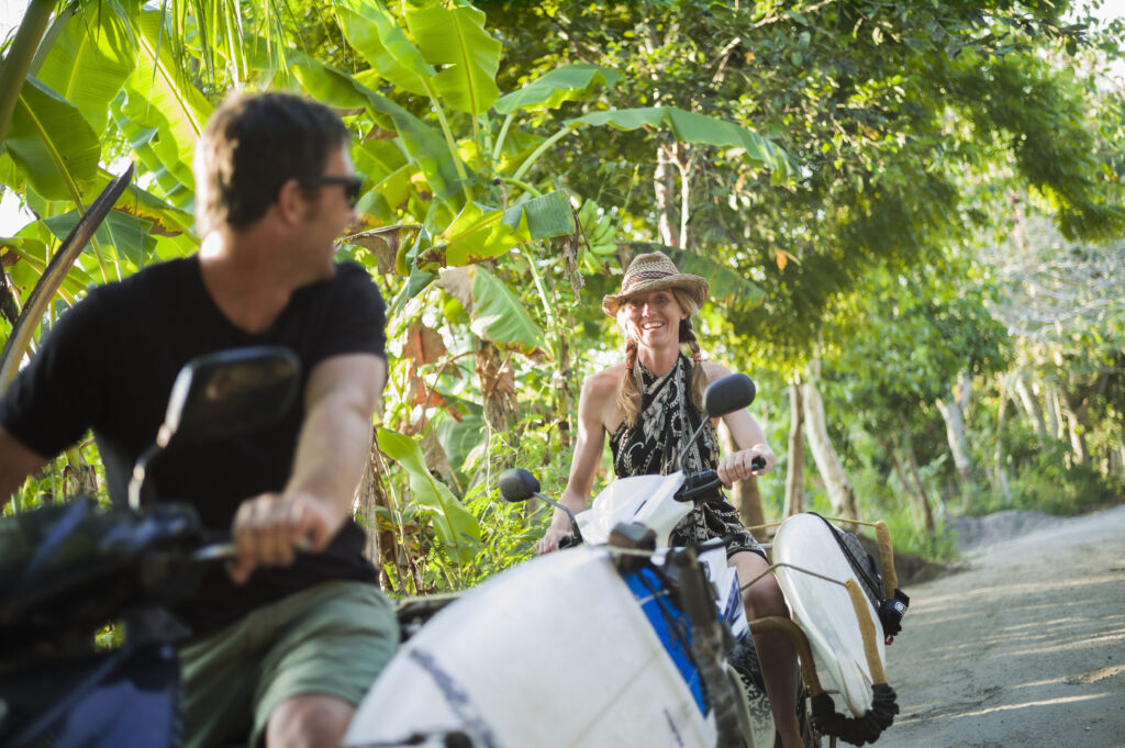
Center ubud It's packed with attractions that you can explore on foot. The best strategy is to put three to five key destinations in one cluster to save time. Starting from the Ubud Palace, continued Saraswati Temple, and ends at Ubud Art Market for souvenir shopping. On the sidelines, there are many cafes, gelato, and co-working that are pedestrian-friendly. A neat map will help you decide when to pursue architectural photos, when to stop for coffee, and when to hunt for souvenirs. Make sure you mark the nearest parking spots, public toilets, and safe walking paths on your map. Monkey Forest Road and Hanoman Street. With this cluster, you can produce a lot of photos in a short period of time without compromising on comfort.
Most Efficient Walking Cluster
Plan the best route around the center of Ubud with the help of ubud map.
Start early so that soft light shines on the buildings and lotus ponds. Sort the visits following a direction that minimizes U-turns. Save the pin meeting point if you're traveling with friends. At the end of the route, choose a cafe at Kajeng Road or Jalan Bisma for a break, then continue to the next spot in the west of the city.
-
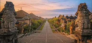
Ubud Palace: The palace features classic Balinese architecture with grand gates and detailed carvings. Come early for a quiet atmosphere. The symmetrical photo in front of the bentar temple is always mesmerizing. Pay attention to the no-entry areas. In the afternoon there are sometimes cultural performances, so check the schedule and secure a seat early.
-
Saraswati Temple: The lotus pond and its carved gate are photo magnets. Compose the lotus as foreground with the temple as the main subject. Morning or evening provides a gentle reflection of the water. Be courteous as this is a sacred area. After shooting, proceed to a nearby cafe overlooking the pond to enjoy a drink while reviewing your shots.
-
Ubud Art Market: Aisles full of fabrics, rattan bags and works by local artists. Arrive early for a relaxed atmosphere. Capture the details of texture and color for close-up that tells a story. Bargain kindly, and support artisans by buying directly from the maker. Save your favorite shop pins for easy return if you want to add to your shopping.
The map of Ubud is very helpful to find Ubud Art Market easily.
Strategic Accommodation Along the Route
Staying in the right location makes map-making and daily routing much easier. Choose an area that makes it easy for you to reach the three main corridors: north to Tegallalang, west to Sayan-Penestanan, and east-south to the waterfall gianyar. If you like walking, choose a hotel near Jalan Raya Ubud or Monkey Forest Road. If you're looking for peace and quiet, stay at the edge of the valley Sayan or near rice fields Tegallalang will feel right. Make sure the accommodation has parking, concierge who knows the local routes, as well as breakfast so you can leave early. Save your hotel pin on the map as your return point, and make your label To late dinner around the inn.
Choosing accommodation close to the Ubud map will make your trip easier.
Hotel Options Close to the Route
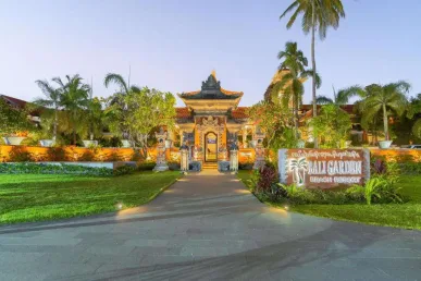
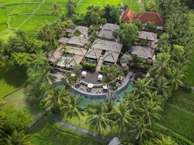
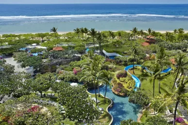
These three recommendations provide easy access to many photo spots. All are in strategic locations, have clear road access, and are close to cafes for coffee break Fast. Save as favorites in the map app to keep your daily plans locked down.
These three hotel recommendations are very strategic and easily accessible via the ubud map.
-
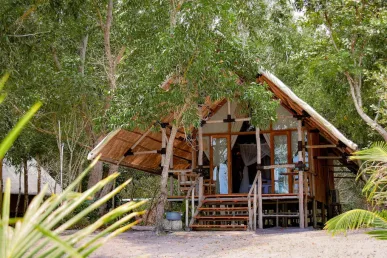
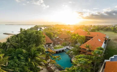
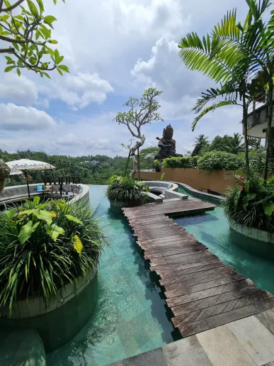
Alaya Ubud: Located near Hanoman Street and Monkey Forest RoadThe hotel is ideal for hikers who want to explore the center. ubud. The wooden rooms, tranquil pool and lively on-site restaurant make it easy to get in and out with no fuss. From here, you can walk to Ubud Art Market or take a short motorcycle ride to Campuhan Ridge Walk. Friendly staff and concierge ready to help with daily route planning.
-
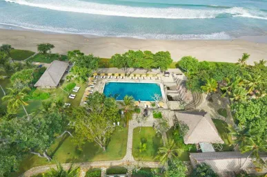
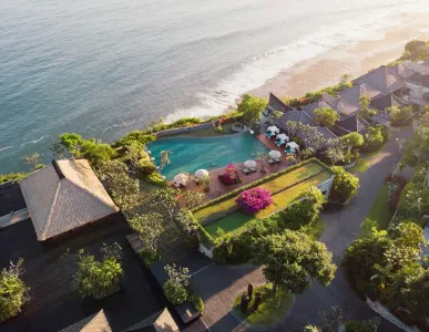
Maya Ubud Resort & Spa: Overlooking the green valley on the east side ubudThis property is suitable for view lovers. Access to eastern routes such as Elephant Cave and waterfalls Tegenungan so much closer. After a long day of photo hunting, coming home to the valley-side pool is a big bonus. The location is quiet, but it's still a reasonable walk to the city center for dinner.
-
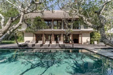
The Udaya Resorts & Spa: Located in the north direction towards Tegallalang, this resort makes it easy for you to catch up sunrise in the rice fields. Tropical-style rooms and spa The famous flowers provide a relaxing experience after a busy route. Access to Petulu and quiet villages are also easy, so you can end the day with an unhurried sunset photo.
Ubud Map-Based 3-Day Itinerary
By using a map of Ubud, your three-day itinerary will be more organized.
This itinerary follows the logic of the map that you have compiled, so each day focuses on one corridor. The goal is to reduce time on the road and maximize the best photo moments. The first day is downtown to warm up, the second day is north to chase the terraced rice fields, and the third day is east-south for the waterfalls. Save all the spots in favorites and set a time reminder so you don't miss it. Golden hour. Don't forget to check the weather forecast as afternoon showers can change plans. With this flow, you stay flexible yet purposeful, perfect for couples, friends, or solo travelers.
Day Frame per Day
Plan out your day by day by taking into account the map of Ubud to maximize your experience.
Organize items the night before. Prepare a small amount of money for parking, power bank, and waterproof bags. Save the return route to the hotel for easy return when tired.
-
Day 1, Ubud Center: Starting from Ubud Palace, proceed to Saraswati Temple, then Ubud Art Market. Afternoon to Campuhan Ridge Walk for twilight. Dinner around Road Monkey Forest or Hanoman Street. This trail is predominantly walking, so choose comfortable footwear.
-
Day 2, Northbound: To Tegallalang Rice Terrace in the morning, continue Mount Kawi Sebatu or Tirta Empul. Afternoon bird hunting at Petulu. Take a leisurely ride home via the cafe by the rice fields. Make sure you have enough fuel because gas stations are not too close together on the village path.
-
Day 3, East-South: Starting from Elephant Cave, continued Tibumana or Kanto Lampo, and close at Tegenungan Waterfall. Bring a change of clothes and a small towel. If you still have energy, stop by Sukawati Art Market for one last shopping trip before heading back to the hotel.